by A'mina Dowe During the
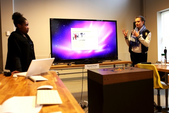
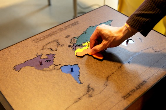
Continuing on the research, Sophie and I realized that the number of slaves in any one location depends on the economy, so we grouped geographical areas together based on their economy. We built a physical standing structure for the world map that would connect to Processing, an open source programming language, to create an interactive installation. The structure allows you to pick up different geographical areas like a puzzle. Since most trafficked victims are children, the puzzle symbolizes slave children who are trapped in this lifestyle when many children of this age should be playing with friends, toys, and puzzles.
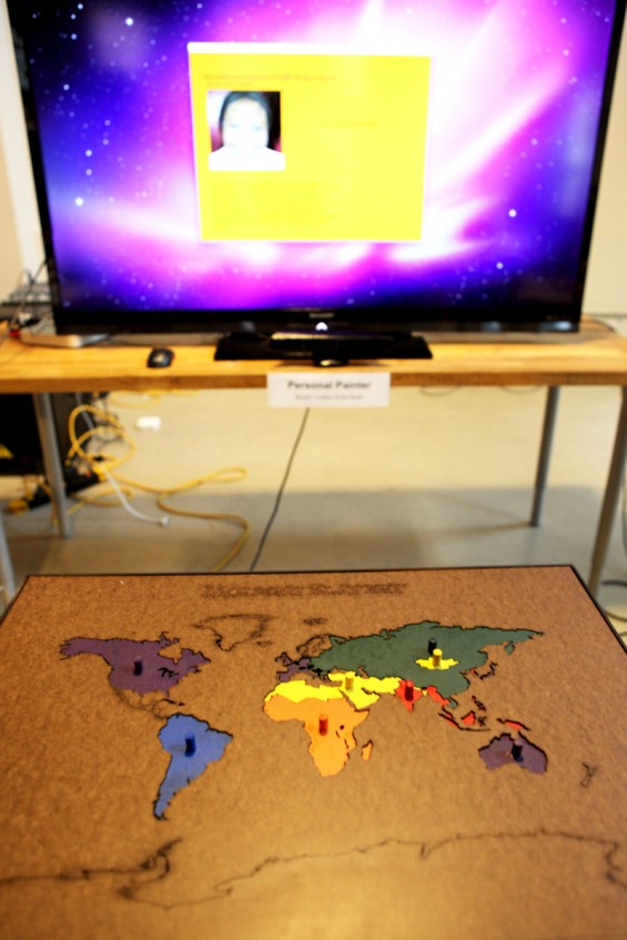
The project was made to look simple and appealing but displays serious information. When a user picks up a piece, a quote, summary and picture of a victim of slavery are displayed for each area. Instead of pressing the area on the map, we thought holding the piece would be a better interactive solution as the action helps to connect the person to the project.
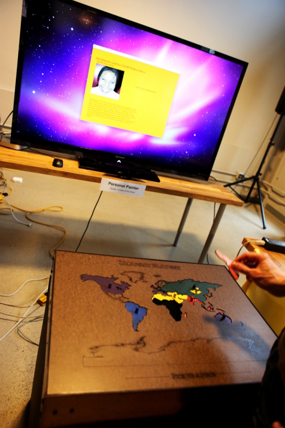
As we further develop the project, we plan on adding more information to each geographical area. For example, each area will have a myriad of stories that people are able to select. Information about organizations that are helping to improve lives of ex-slaves will also be displayed alongside the stories as well as more facts on modern slavery.
:rotate(0)/p39f1jed4mgd288myquiu5yecweg)